
ファイル:Rs map02.png
このプレビューのサイズ: 561 × 599 ピクセル。 その他の解像度: 225 × 240 ピクセル | 449 × 480 ピクセル | 977 × 1,044 ピクセル。
元のファイル (977 × 1,044 ピクセル、ファイルサイズ: 51キロバイト、MIME タイプ: image/png)
ウィキメディア・コモンズのファイルページにある説明を、以下に表示します。
|
概要
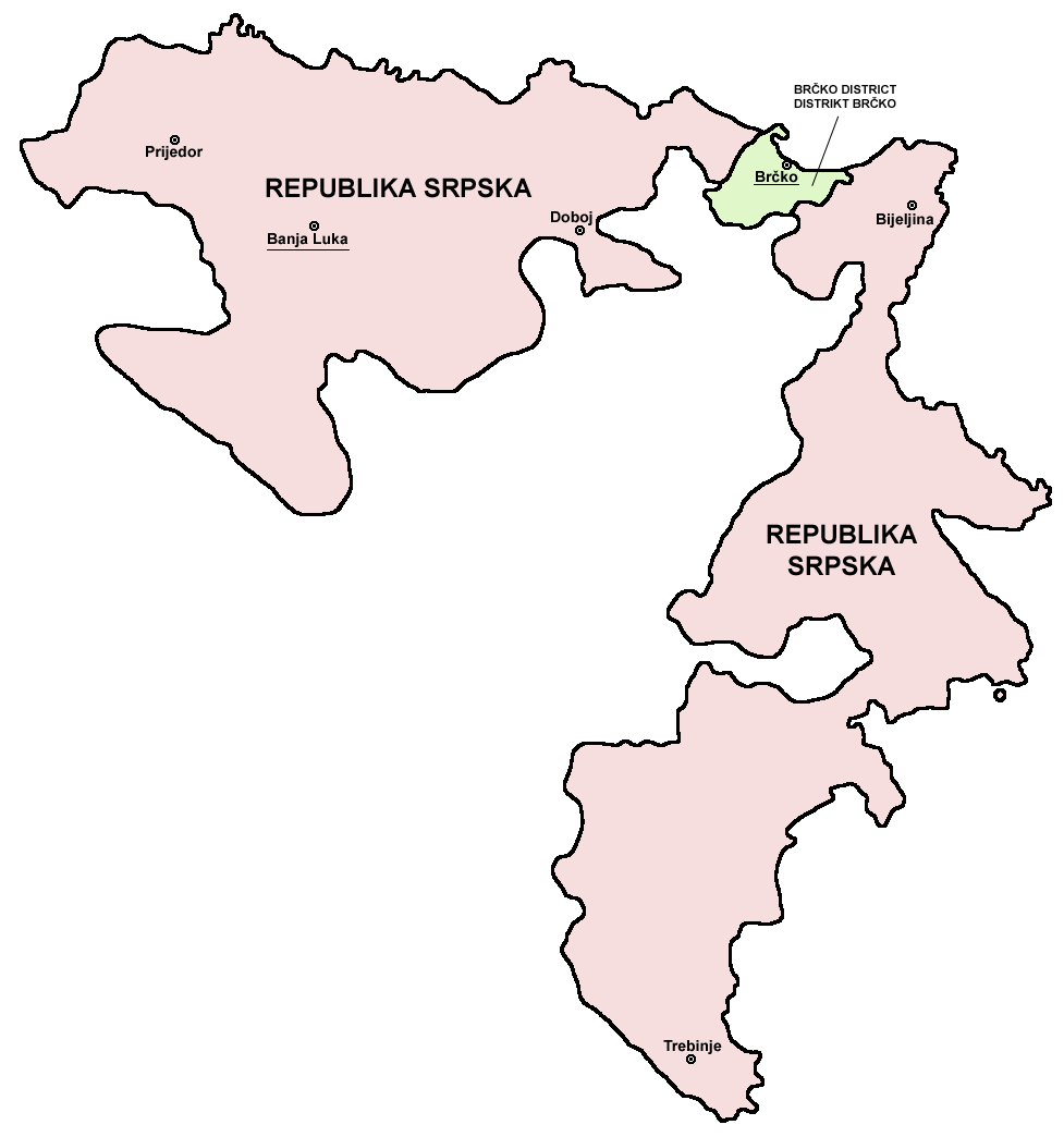
- English: Map of the Republika Srpska (Serb Republic) and Brčko District.
- Serbian: Mapa Republike Srpske i Distrikta Brčko.
Source and licence

|
This map has been uploaded by Electionworld from en.wikipedia.org to enable the |
self made map by user:PANONIAN
| この著作物の著作権者である私は、この著作物における権利を放棄しパブリックドメインとします。これは全世界で適用されます。 一部の国では、これが法的に可能ではない場合があります。その場合は、次のように宣言します。 私は、あらゆる人に対して、法により必要とされている条件を除き、如何なる条件も課すことなく、あらゆる目的のためにこの著作物を使用する権利を与えます。 |
References
- Slobodan Radovanović, Geografski atlas, Magic Map, Smederevska Palanka, 2001.
- Geografski atlas, Intersistem kartografija, Beograd, 2004.
- http://www.ohr.int/ohr-offices/brcko/images/map-brcko-district.jpg
- http://world-gazetteer.com/ アーカイブされたコピー at the Wayback Machine
ファイルの履歴
過去の版のファイルを表示するには、その版の日時をクリックしてください。
| 日付と時刻 | サムネイル | 寸法 | 利用者 | コメント | |
|---|---|---|---|---|---|
| 現在の版 | 2011年8月5日 (金) 08:56 | | 977 × 1,044 (51キロバイト) | PANONIAN | improved version |
| 2011年8月5日 (金) 08:41 |  | 610 × 602 (11キロバイト) | PANONIAN | Reverted to version as of 10:03, 16 July 2007 - please do not upload your work over mine. upload your map under separate filename | |
| 2011年4月11日 (月) 00:24 |  | 610 × 655 (92キロバイト) | Kacnepcku-Cp6uja | better quality | |
| 2007年7月16日 (月) 10:03 |  | 610 × 602 (11キロバイト) | Nihad Hamzic | The original image seems to had been saved as JPEG, and the previous uploader had simply directly converted it to PNG. I have greatly optimised image size by removing JPEG artifacts, reducing color domain etc. | |
| 2006年12月28日 (木) 15:48 |  | 610 × 602 (143キロバイト) | Electionworld | {{ew|en|PANONIAN}} {{link|Republika Srpska}} map (self made) {{PD-self}} Note: The borders of Republika Srpska were not determined on the basis of the natural geographical features of the region. Rather, the Inter-Entity Boundary Line runs essentially al |
ファイルの使用状況
以下のページがこのファイルを使用しています:
グローバルなファイル使用状況
以下に挙げる他のウィキがこの画像を使っています:
- ast.wikipedia.org での使用状況
- gl.wikipedia.org での使用状況
- ie.wikipedia.org での使用状況
- ka.wikipedia.org での使用状況
- la.wikipedia.org での使用状況
- lv.wikipedia.org での使用状況
- oc.wikipedia.org での使用状況
- ro.wikipedia.org での使用状況
- szl.wikipedia.org での使用状況
- ur.wikipedia.org での使用状況
- xmf.wikipedia.org での使用状況