
ファイル:Dem congo sat.jpg

このプレビューのサイズ: 608 × 600 ピクセル。 その他の解像度: 243 × 240 ピクセル | 487 × 480 ピクセル | 779 × 768 ピクセル | 1,038 × 1,024 ピクセル | 2,293 × 2,261 ピクセル。
元のファイル (2,293 × 2,261 ピクセル、ファイルサイズ: 3.13メガバイト、MIME タイプ: image/jpeg)
ウィキメディア・コモンズのファイルページにある説明を、以下に表示します。
|
概要
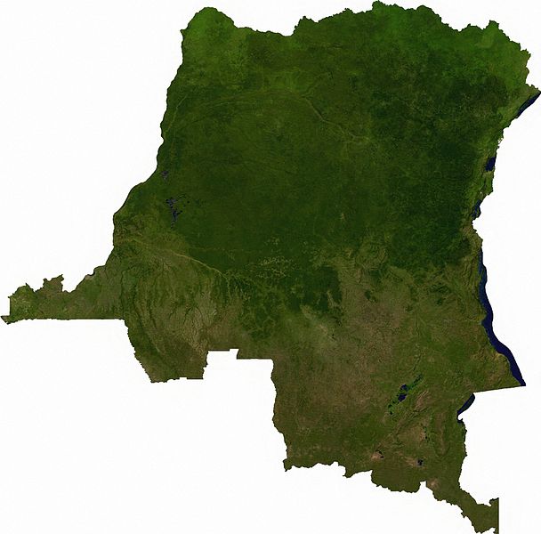
Raster data download July 12, 2006 from The Map Library: exported to TIFF format, and converted to JPEG via Paint.NET.
ライセンス
| This file is in the public domain, because it was generated by a user, using free sources available at The Map Library.
Note that this does not include the maps in the Global Administrative Areas section of the homepage. |
ファイルの履歴
過去の版のファイルを表示するには、その版の日時をクリックしてください。
| 日付と時刻 | サムネイル | 寸法 | 利用者 | コメント | |
|---|---|---|---|---|---|
| 現在の版 | 2006年7月13日 (木) 01:52 | | 2,293 × 2,261 (3.13メガバイト) | Unquietwiki | == Summary == Raster data download July 12, 2006 from The Map Library: exported to TIFF format, and converted to JPEG via Paint.NET. == Licensing == {{PD-MapProject}} |
ファイルの使用状況
以下のページがこのファイルを使用しています:
グローバルなファイル使用状況
以下に挙げる他のウィキがこの画像を使っています:
- af.wikipedia.org での使用状況
- ar.wikipedia.org での使用状況
- bg.wikipedia.org での使用状況
- da.wikipedia.org での使用状況
- en.wikipedia.org での使用状況
- eo.wikipedia.org での使用状況
- es.wikipedia.org での使用状況
- fr.wikipedia.org での使用状況
- hu.wikipedia.org での使用状況
- hy.wikipedia.org での使用状況
- ka.wikipedia.org での使用状況
- mt.wikipedia.org での使用状況
- pt.wikipedia.org での使用状況
- sr.wikipedia.org での使用状況
- trv.wikipedia.org での使用状況
- tum.wikipedia.org での使用状況
- uk.wikipedia.org での使用状況
- zh.wikipedia.org での使用状況