
ファイル:Construction of Hardinge Bridge 1911.jpg
このプレビューのサイズ: 800 × 417 ピクセル。 その他の解像度: 320 × 167 ピクセル | 640 × 333 ピクセル | 1,024 × 533 ピクセル | 1,525 × 794 ピクセル。
元のファイル (1,525 × 794 ピクセル、ファイルサイズ: 750キロバイト、MIME タイプ: image/jpeg)
ウィキメディア・コモンズのファイルページにある説明を、以下に表示します。
|
概要
| 解説 |
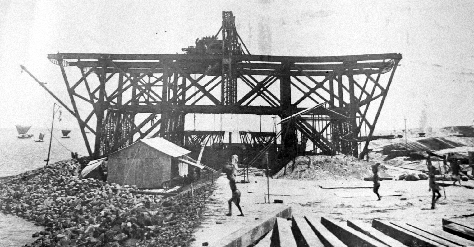
English: Construction of Hardinge Bridge |
| 日付 | |
| 原典 | British Library |
| 作者 | 不明 |
| 被写体の位置 | | 以下のサービスでこの位置を確認する: オープンストリートマップ |
|---|
ライセンス
This work was first published in Bangladesh and is now in the public domain because its copyright protection has expired by virtue of the Copyright Act, enacted 2000 (details). The work meets one of the following criteria:
|
 |
評価
この画像は、ベンガル語版ウィキペディアの今日の一枚に選ばれています。
|

|
この画像は価値ある画像の方針に基づいて評価され、Construction of Hardinge Bridge in 1911の分野において「コモンズで最も価値のある画像」と判断されています。ここでその推薦を閲覧することができます。 |
ファイルの履歴
過去の版のファイルを表示するには、その版の日時をクリックしてください。
| 日付と時刻 | サムネイル | 寸法 | 利用者 | コメント | |
|---|---|---|---|---|---|
| 現在の版 | 2017年5月3日 (水) 10:09 | | 1,525 × 794 (750キロバイト) | Jacek Halicki | contrast |
| 2015年3月15日 (日) 08:36 |  | 1,525 × 794 (396キロバイト) | Arr4 | User created page with UploadWizard |
ファイルの使用状況
以下のページがこのファイルを使用しています:
グローバルなファイル使用状況
以下に挙げる他のウィキがこの画像を使っています:
- bn.wikipedia.org での使用状況
- en.wikipedia.org での使用状況