
ファイル:Kastamonu districts.png
このプレビューのサイズ: 776 × 600 ピクセル。 その他の解像度: 311 × 240 ピクセル | 621 × 480 ピクセル | 994 × 768 ピクセル | 1,056 × 816 ピクセル。
元のファイル (1,056 × 816 ピクセル、ファイルサイズ: 39キロバイト、MIME タイプ: image/png)
ウィキメディア・コモンズのファイルページにある説明を、以下に表示します。
|
概要
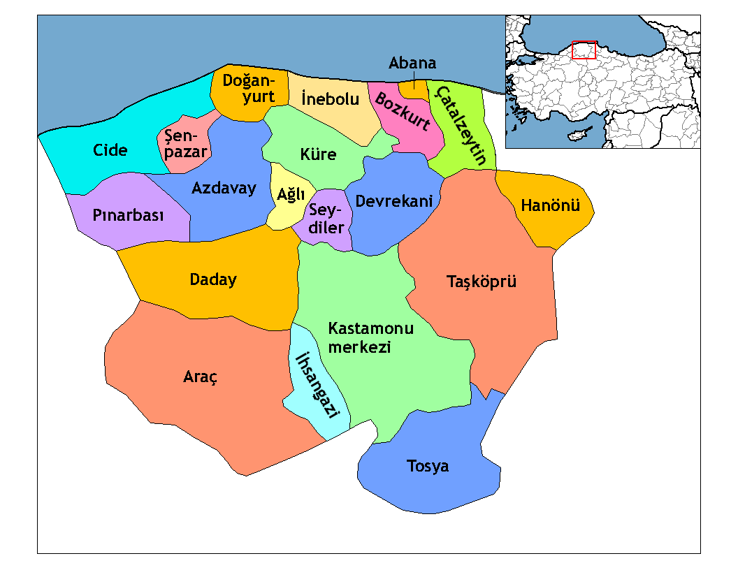
| 解説 | Map of the districts of Kastamonu province in Turkey. Created by Rarelibra 21:59, 1 December 2006 (UTC) for public domain use, using MapInfo Professional v8.5 and various mapping resources. Edited by One Homo Sapiens Corrected text where İ,Ş,ı,ğ,or ş occurs in name. Source: [statoids-com]. Increased font size and enhanced color differences among adjacent districts. |
| 日付 | 2006年12月1日 (当初のアップロード日) |
| 原典 | コンピュータが読み取れる情報は提供されていませんが、投稿者自身による著作物だと推定されます(著作権の主張に基づく) |
| 作者 | コンピュータが読み取れる情報は提供されていませんが、Rarelibraだと推定されます(著作権の主張に基づく) |

|
このlocator map画像は、ベクターイメージである SVG ファイルとして再作成されるべきです。これにはいくつかの利点があります。詳しくはCommons:Media for cleanupを参照してください。この画像の SVG 形式がすでに利用可能である場合は、アップロードしてください。アップロード後、この画像にあるこのテンプレートを{{Vector version available|新しい画像ファイル名.svg}}テンプレートで置き換えてください。
|
ライセンス
| この著作物の著作権者である私は、この著作物における権利を放棄しパブリックドメインとします。これは全世界で適用されます。 一部の国では、これが法的に可能ではない場合があります。その場合は、次のように宣言します。 私は、あらゆる人に対して、法により必要とされている条件を除き、如何なる条件も課すことなく、あらゆる目的のためにこの著作物を使用する権利を与えます。 |
[[Category:
]]
ファイルの履歴
過去の版のファイルを表示するには、その版の日時をクリックしてください。
| 日付と時刻 | サムネイル | 寸法 | 利用者 | コメント | |
|---|---|---|---|---|---|
| 現在の版 | 2008年12月28日 (日) 23:52 | | 1,056 × 816 (39キロバイト) | One Homo Sapiens | Corrected text where İ,Ş,ı,ğ,or ş occurs in name. Source: [statoids-com]. Increased font size and enhanced color differences among adjacent districts. |
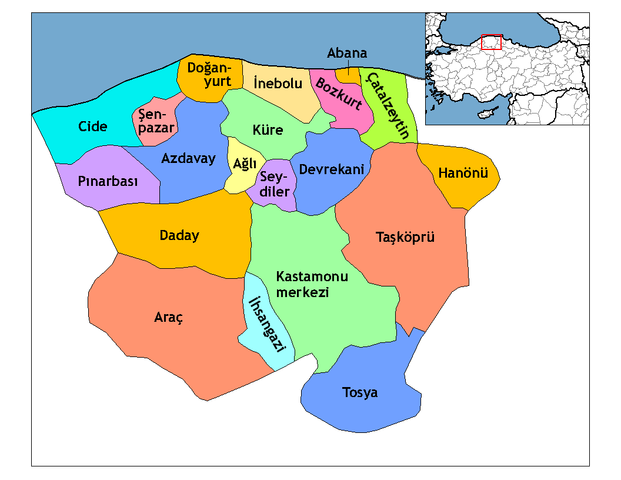
| 2006年12月1日 (金) 21:59 |  | 1,056 × 816 (37キロバイト) | Rarelibra | Map of the districts of Kastamonu province in Turkey. Created by ~~~~ for public domain use, using MapInfo Professional v8.5 and various mapping resources. |
ファイルの使用状況
グローバルなファイル使用状況
以下に挙げる他のウィキがこの画像を使っています:
- ar.wikipedia.org での使用状況
- arz.wikipedia.org での使用状況
- ast.wikipedia.org での使用状況
- av.wikipedia.org での使用状況
- azb.wikipedia.org での使用状況
- az.wikipedia.org での使用状況
- ca.wikipedia.org での使用状況
- de.wikipedia.org での使用状況
- diq.wikipedia.org での使用状況
- el.wikipedia.org での使用状況
- en.wikipedia.org での使用状況
- Kastamonu Province
- User talk:Rarelibra/Maps4
- Districts of Turkey
- Governor of Kastamonu
- List of populated places in Kastamonu Province
- Abana District
- Ağlı District
- Kastamonu District
- Araç District
- Azdavay District
- Bozkurt District, Kastamonu
- Çatalzeytin District
- Cide District
- Daday District
- Devrekani District
- Doğanyurt District
- Hanönü District
このファイルのグローバル使用状況を表示する。